1
/
of
1
Wells Gray Outfitters
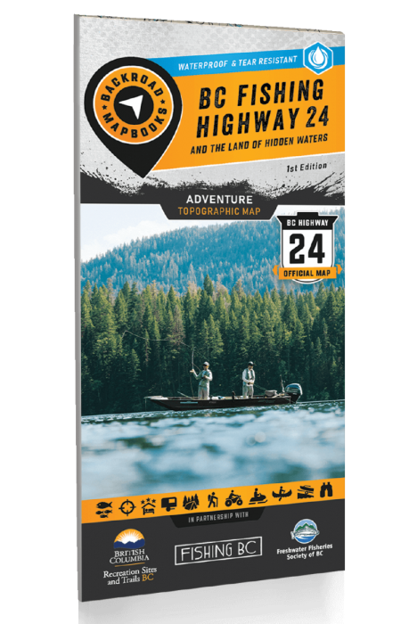
BC FISHING HIGHWAY 24 AND THE LAND OF HIDDEN WATERS - RECREATION MAP ADVENTURE MAPS
BC FISHING HIGHWAY 24 AND THE LAND OF HIDDEN WATERS - RECREATION MAP ADVENTURE MAPS
Regular price
$19.99 CAD
Regular price
Sale price
$19.99 CAD
Unit price
/
per
Couldn't load pickup availability
Released: 2022
UPC: 6-22098-11007-4
ISBN #: 978-1-989175-10-1
Pages: 2
Dimensions: 86 x 117 cm (34 x 46.25 inches)
Maps: Land of Hidden Waters Map 1:200,000, BC Fishing Hwy 24 Map 1:100,000
Map Features: Highways, Logging Roads, Land & Water Features, Parks, Adventure Points of Interest, Campgrounds, Hiking Trails, Motorized Trails, Paddling Routes, Hunting & Fishing Areas, Winter Recreation and More.
Areas Covered: 100 Mile House, Adams Lake, Barriere, Bonaparte Lake, Bridge Lake, Cache Creek, Canim Lake, Clearwater, Clinton, Green Lake, Interlakes, Kamloops, Lac La Hache, Lac La Jeune, Little Fort, Logan Lake, Lone Butte, Mahood Lake, Sheridan Lake, Savona & more
Share